

Getting from here to there on a bike is much easier if you know the way to go! If you’re used to driving or busing, you might not realize that there are dozens of different routes you can take with your bike—many of them are out of traffic and often quicker. There are a few great tools available, and with the right knowledge of how best to use them, you’ll be gliding across town in no time.
- City of Winnipeg Bicycle Maps
- Google Bicycle Directions
- Bikely
- Open Streets Map
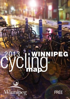 Download the Cyclists Map of Winnipeg
- Downtown Winnipeg
- North Winnipeg
- South Winnipeg
- East Winnipeg
- West Winnipeg
- Map Legend
- Entire map Side 1
- Entire map Side 2
You can pick up a free printed copy of the City of Winnipeg Cycling Map at one of these locations:
- Millennium Library
- Travel and Tourism outlets
(Broadway, Forks Market Road, Portage) - Mountain Equipment Coop
303 Portage Ave. - Sport Manitoba Library – Sport for Life Centre
145 Pacific Avenue - Winnipeg Trails Association
235-614 Des Meurons - Natural Cycle Bikeshop
91 Albert Street - Bikes and Beyond
233 Henderson Hwy. - Woodcock Cycle
433 St Marys Rd. - Olympia
1813 Portage Ave.
326 St Mary’s Rd. - Alter Ego
1605 Pembina Hwy. - Gooch’s
1046 Portage Ave. - Life Sport
411 Pembina Hwy. - Sampsons
525 Pembina Hwy. - Royal Sports
650 Raleigh St.
750 Pembina Hwy. - Corydon Cycle and Sport
753 Corydon Ave. - University of Manitoba
Note: Available while supplies last.
Google maps has a bicycle layer to help you navigate by bicycle in Winnipeg (not showing).
Using Google Bike Directions
Bikely.com is a crowd-sourced listing of bike routes all over the world. You can search or browse it for preferred routes, or contribute your own to help others out.How to get the most out of Bikely
View Larger Map